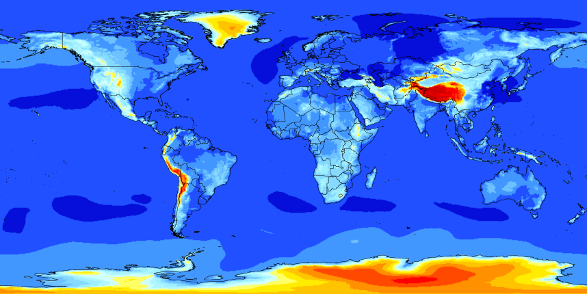
Ceiling height is an important factor in air pollutant dispersion because it influences the vertical mixing of air and pollutants. When the ceiling height is high, there is generally better vertical mixing of air and pollutants, which can help to disperse pollutants more effectively and reduce their concentrations at ground level. This is because there is more space for the pollutants to diffuse and disperse as they rise and mix with the surrounding air.
Conversely, when the ceiling height is low, there is limited vertical mixing of air and pollutants, which can lead to the accumulation of pollutants at ground level and potentially higher concentrations. This is especially true in situations where there is a temperature inversion, which occurs when a layer of warm air overlays a layer of cooler air near the ground, trapping pollutants in the lower layer.
Therefore, understanding the ceiling height is an important factor for air quality management and forecasting, as it can help to predict the potential for pollutant accumulation and inform mitigation strategies.
Is Mixing Height and Ceiling Height same?
No, mixing height and ceiling height are not the same, although they are related.
Mixing height refers to the height in the atmosphere within which there is sufficient turbulence and vertical mixing of air to effectively disperse pollutants. It is determined by a combination of factors, including the strength of atmospheric stability, solar radiation, and surface roughness. In other words, mixing height is the height at which the air becomes well-mixed, allowing pollutants to be dispersed and diluted.
Ceiling height, on the other hand, refers to the height above ground level at which the lowest layer of clouds or obscuring phenomena (such as fog, smoke, or haze) are found. It is an important parameter for aviation and can affect visibility and flight conditions.
While both mixing height and ceiling height are influenced by atmospheric stability, they are not the same because mixing height refers to the height where air turbulence and mixing are sufficient to disperse pollutants, while ceiling height is the height of the lowest layer of clouds or obscuring phenomena. However, they are related in that a higher mixing height can generally indicate a higher ceiling height, as more turbulent mixing can help to disperse clouds and other obscuring phenomena.
How can we calculate ceiling height?
There are several ways to measure or estimate ceiling height, including:
Cloud base height measurement: This method involves visually measuring the height of the cloud base using instruments such as ceilometers or laser range finders.
Temperature and dew point measurement: This method uses the difference between temperature and dew point to estimate the height of the cloud base. When the temperature and dew point are close together, it indicates a high probability of cloud formation, and the height of the cloud base can be estimated using a simple formula.
Satellite and radar imagery: These methods use remote sensing to estimate cloud height based on the shape, size, and movement of clouds detected by satellite or radar imagery.
Numerical weather prediction models: These models use atmospheric data and mathematical algorithms to predict cloud height and other weather parameters based on current and forecasted conditions.
The specific method used to calculate ceiling height depends on the available resources, the desired level of accuracy, and the meteorological conditions being observed.
There is a formula that can be used to estimate the ceiling height based on temperature and dew point measurements. The formula is:
Ceiling Height = (Temperature - Dew Point) / 4.4 x 1000 feet
where the values for temperature and dew point are in degrees Celsius. This formula assumes that the air is saturated, meaning that the temperature and dew point are equal, and that the lapse rate (the rate at which temperature decreases with height) is approximately 2 degrees Celsius per 1000 feet.
For example, if the temperature is 15 degrees Celsius and the dew point is 10 degrees Celsius, the difference between them is 5 degrees Celsius. Using the formula above, the estimated ceiling height would be:
Ceiling Height = (15 - 10) / 4.4 x 1000 = 1136 feet
This means that the cloud base or the lowest layer of obscuring phenomena is at an altitude of 1136 feet above ground level.
It is important to note that this method provides only an estimate of the ceiling height, and the actual height may vary based on local meteorological conditions. Additionally, this method assumes that the air is saturated and that the lapse rate is constant, which may not always be the case.